Post a pic of google earth

freestyleskiin

Active member
post a sweet spot or a sweet area.

287076150_m.jpg
 
Someone post Alta or Mammoth. They were textured pretty well last time I looked.

Colorado and Western Canada is all blurry.
 
This is a scramble me and two friends went on Oct15th It was roughly 4000 vertical feet, no trail. We just hiked up the drainage. The whole way was climbing and hiking without ropes, a falling rock hit my friend 300 feet from the summit and we had to turn around, it took us 9.5 hours and we ended up climbing down the last 1000 vertical feet in the pitch black of night, climbing down 30 foot cliffs it was pretty fucked. The google image really doesn't do it justice.

10-15-05a.jpg


This next one is last sunday, it was 5000 vertical feet red trail is path up green is path down. This one was a lot of hiking/scrambling but a lot of fun, we climbed a knifes edge all the way up then we traversed across some snowfields and did some mixed snow/rock climbing. Again with ropes, no major injuries to report total round trip time 10hrs 30mins

10-22-05.jpg
 
it already took satalite images of places, if its a busy area then they take more detailed pictures. pretty fucking sweet. i was looking at area 51 one time
 
have you guys ever noticed that you never see any people on googe earth? I have looked so hard and you never see any!
 
^ i did but whenever i open it it just shows a map and if i zoom in it just gets cluttered i dont no how to get like pictures liek that
 
events? hes hiking up and skiing down. its a personal mission. today me and my buddies hiked up to about 100 yards from the saddle of the collins lift at alta. it got to dark so we had to ski down. props on your lines.
 
didi you know the pyramids were 5 sided, you can only tell at a certain time of the day when the sun casts a weird shadow. My latin teacher showed us a pic from an air plain it was so cool lookin
 
if your asking what i think your asking, lower the camera angle using the slider on the right of the directional pad.

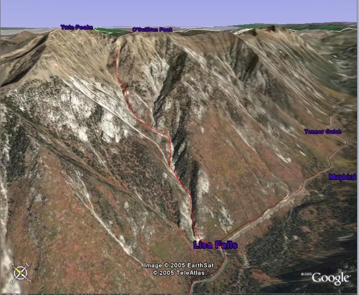
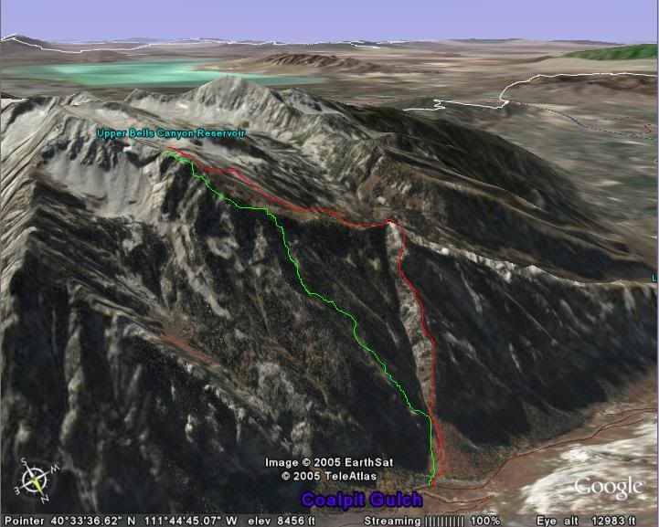
you guys notice that when you zoom in pretty close (6km ish), have the angle vertical, and then move over the map..you can see the relief in the mountains really well.
 
Back
Top