Beartooth pass???

ATLskier

Active member
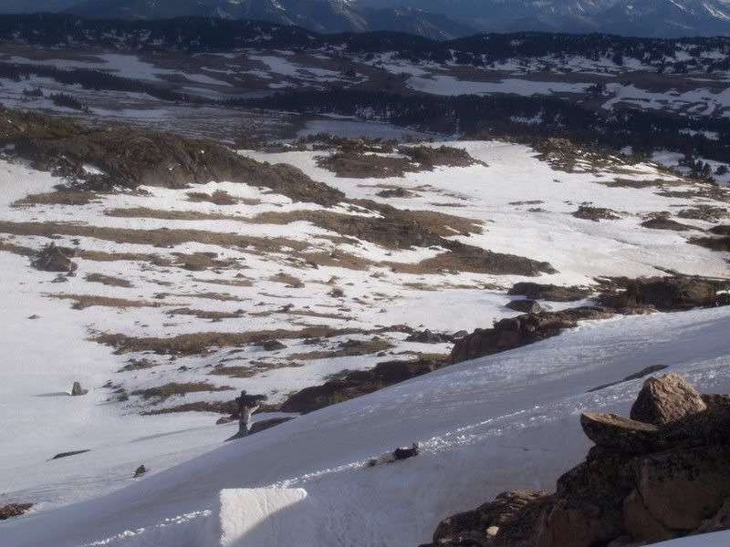
Ill be in the yellowstone/tetons area around July 1st and all I can think about is skiing, so Im bringin my skis on my 40 hour road trip from atlanta to ski at beartooth, berthoud pass and st. marys glacier. How much snow does beartooth pass have right now, and will it be good to hit around that time? I know the lifts there aren't running, but is there a road to the base of the lifts?(prob stupid question) Basically where can I ski at the pass, or where will the best skiing be for like a booter, or cliffs? Thanks.

Let me know if you want to meet up or something. Im up for hiking, building a booter, getting some good runs in.
 
There won't be snow immediately accessible from the road by then, but the Gardner Headwall should still be good, among a ton of other unnamed faces you can see from the road. Just bring your hiking boots and be ready to work a little for your turns and you should have a good time. Unfortunately I'm working in Idaho this summer, so I won't be able to make it up there at any time.
 
my backyard set up is pretty good. flat rail, flat box, trap rail. Other than that, nothing.

But there is decent skiing in North Carolina 3 hours away, and one of the best parks in the east 5 hours away at app. But I make a couple trips out west every year to do something besides park.

How far is the headwall from the road?
 
The top of the headwall is about 20 feet off the highway. However, you do have to hike out of the bottom for a bit before hitching back to the top. If there's coverage it's a really fun run though.
 
alright, thanks for the help so far. I need all the help I can get since Im so unfamiliar with the area. Can someone go on google earth and make a snapshot or whatever or where the exact location of the headwall(please include the road where you hitch hike back up) is, or other skiing places and the lifts for the camps. (also on google earth you dont have to have a straight down aerial photo, you can use the slider tool thing above the compass thing to pan down to see topography. Thanks a lot.
 
It's not as complicated as you think it is. The only road up there is the highway, and as far as skiing goes you just find a spot that looks good and hike, skin, or ski out to it. As long as you have a sense of hearing and a vague idea of where you are in relation to the road you'll be perfectly fine.
 
last weekend...

jussjumpmy.jpg
 
yeah alright thanks.

I found a map of the area in an old skiing mag that helps me out a lot.

How bad is the hike out of gardener headwall, and maybe twin lakes headwall? And has anyone skied the twin lakes headwall? It looks pretty sick.

 
The hike out of the Gardner headwall is pretty easy, I think it's only a couple hundred vertical back to the road unless you get motivated and bootpack the whole thing. Twin Lakes is where the ski camp is, isn't it? If so, then you'll have to hike every foot you ski on that one.
 
Yeah we rebuilt that yesterday and hit it...pretty cool spot the landing had a dirt patch now though..so you had land kinda flat
 
I was just up there today. The snow is going fast but you should be able to find some if you are willing to hike a little.
 
I doubt there's much left. I just hiked across the Beartooths from Cooke City to Mystic Lake and there was hardly any snow at all compared to this time last year. The glaciers are 90% bare ice, most of the permenant snow fields are pathetic or gone, and there isn't much else. If you want to hike really far and slide uncontrollably down a mostly gone glacier there's a few spots you can go to, but other than that I think you're going to have to wait for October/November.
 
Back
Top