You are using an out of date browser. It may not display this or other websites correctly.
You should upgrade or use an alternative browser.
You should upgrade or use an alternative browser.
We are soooo fucked
- Thread starter Mstchief
- Start date
It looks like a nice day in store today with mostly clear skies, mild temperatures and light north or northeast winds. Temperatures should get up around freezing along the ridges. High pressure continues Tuesday before a trough clips northern Utah cooling temperatures and bumping wind speeds slightly. You guessed it, no snow will come from this. A high pressure ridge will be the dominant feature through the end of the model run which puts us out toward the end of the month.
this is taken from utah avalanche center
these guys are on top of things so it seems like jan will suk
this is taken from utah avalanche center
these guys are on top of things so it seems like jan will suk
vailsux.com
Active member
I haven't been out of the park in days.
ectreeskier11
Member
one possible shred of good news:
LOOKING AHEAD TO THIS WEEKEND...UNCERTAINTY CONTINUES BETWEEN A
BUILDING RIDGE IN THE GFS OR AN ESTABLISHING MOIST PACIFIC ZONAL
FLOW ALONG THE CANADIAN BORDER PER THE EUROPEAN. IF THE EUROPEAN
IS ON THE RIGHT TRACK...THIS PATTERN SHIFT COULD EVENTUALLY BRING
PERIODIC STORMS BEGINNING THE MIDDLE OF NEXT WEEK TO THE NORTHERN
HALF OF THE STATE.
zerospinskier
Active member
I just broke my collar bone, and this nonsense better be done with by the time I'm healed!
LeoSpaceman
Member
i predict the season will just go two months later than normal.
but i aint no scientist.
but i aint no scientist.
Loco-Deer-Slayer
Active member
This winter is going to be a lot like the one we had two seasons ago.
masta_LE3B
Active member
I moved from AK to SLC to ski the infamous ut blower that has never come. better yet ak is having one of its best years and ut having one of the worst.
hopefully its just a lil delayed, i just bought all new avy stuff
hopefully its just a lil delayed, i just bought all new avy stuff
Scott0_robot0
Active member
of course this happens right after i am going to move to cali. fuuuck
Justo8484
Active member
it's about time. flying out on the 26th from philly and really hoping you guys have somewhat recovered by then.
this is looking pretty optimistic as well:http://wasatchsnowforecast.com/. not sure how credible it is, but a friend who lives up by basin and powder sent it to me this morning. great year for him to invest in a touring setup so far...
this is looking pretty optimistic as well:http://wasatchsnowforecast.com/. not sure how credible it is, but a friend who lives up by basin and powder sent it to me this morning. great year for him to invest in a touring setup so far...
Saturday AM update:
Figured we’re close enough now to the onset of snowfall that I would map out at least the timing and significance of each impulse we have coming in… Of course, these are all preliminary estimates and are subject to change.
Monday Morning: Cold, quick moving system gets us started. Could affect morning commutes for those unfortunate enough to have to work. Snow levels are not an issue given its cold nature. Accumulation 3-6″ mountains, Trace-2″ Valleys.
Wednesday-Thursday AM: First warm impulse will move into the area, bulk of precip will stay to our north. Snow levels 7,000-7,500 feet. Accumulation above 7,500 ft., 4-8″
Friday evening-Saturday AM: Stronger, but still fairly warm impulse will enter the region. Snow levels 6,500-7,000 feet. Accumulation above 7,000 ft, 8-16″.
Sunday PM-Monday: Another fairly strong impulse, will move through, looks a bit colder at this time. Snow levels 4,500 – 5,500 feet. Accumulation above 6,500 feet, 8-16″.
More systems possible beyond this . . .
Remember, these are all preliminary estimates and chances are these totals and timing will change as we get closer. Just trying to give everybody an idea of what to expect. If you add the totals up for these four separate impulses, you’d find that I’m expecting 2-4 feet total over the next ten days. Not too shabby….
FreeballinPGH
Member
yezzz siirrr! middle provo on old 40 has been fun this week.
shocker611
Active member
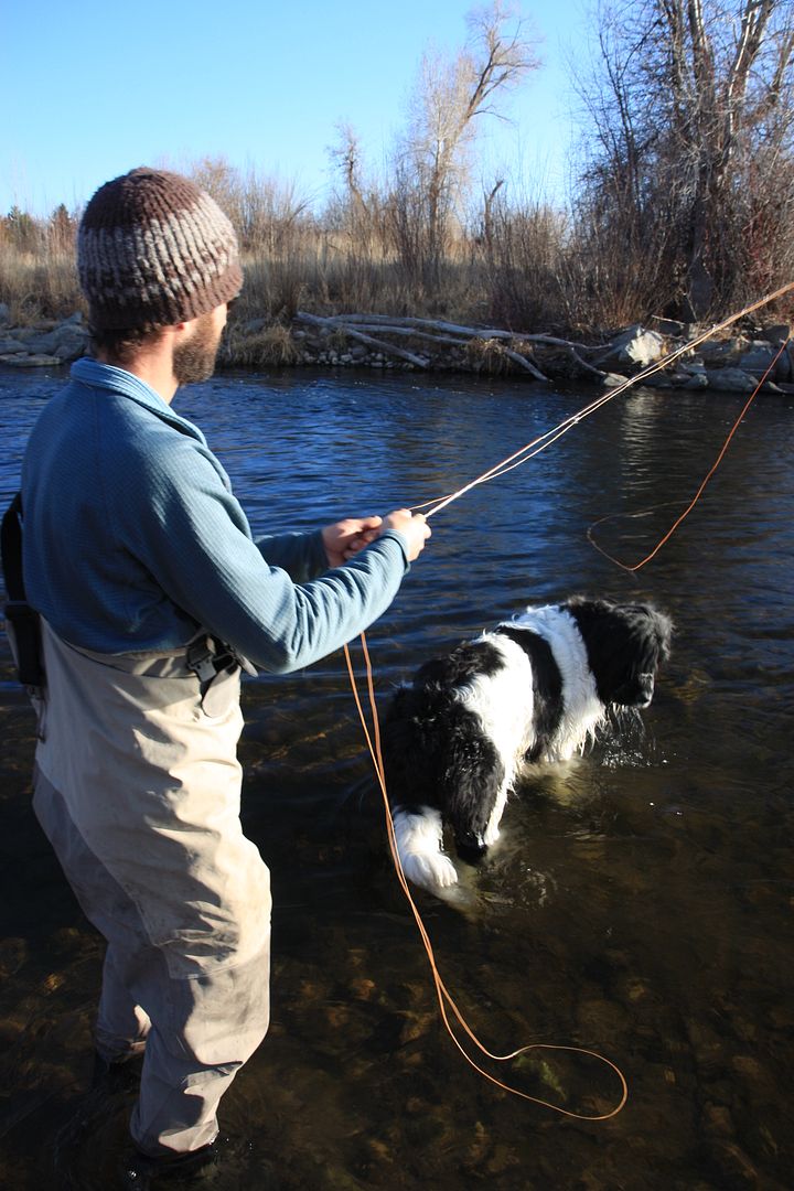
speaking of the fishing, whats been hitting for you guys? thinking bout headin up there before this weather comes in
shocker611
Active member
yeah that got a little wild there for a while