Granby_killdozer
Active member
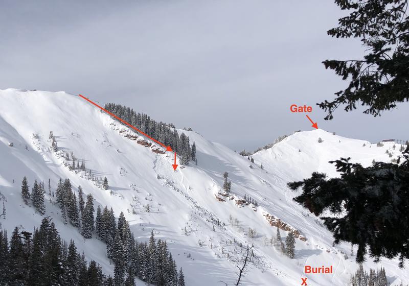
Looks like there was a slide on an open run at copper on Saturday. There was also a slide at steamboat on Sunday. so in case it isn't obvious yet, the snow pack is fucked in northern CO right now. Please be safe if you're in the backcountry or even just skiing the passes because the deep slab instability is real right now.
https://www.summitdaily.com/news/co...TJfPCQ6cNMSOWAG7_8rbx9q563xVV-03nzB9FF9RvP7DU
https://www.summitdaily.com/news/co...TJfPCQ6cNMSOWAG7_8rbx9q563xVV-03nzB9FF9RvP7DU